Find out more about this year’s
INTERGEO in Stuttgart.
INTERGEO 2024
From September 24 to 26, 2024, Messe Stuttgart will be the pulsating center of the geospatial community. INTERGEO, the world’s leading event for geodesy, geoinformation and land management, brings together experts and visionaries from all over the world. With 600 international brands, industry leaders, associations and start-ups, INTERGEO underlines its position as the number one event in the geospatial community and promotes the exchange between these players in order to network, cooperate and work together to shape the future. As an international platform, INTERGEO offers a global perspective and promotes cooperation across borders in order to fully exploit the potential of geoinformation technologies and respond jointly to global challenges.
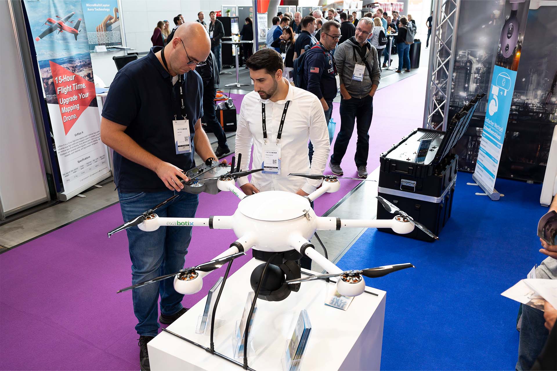
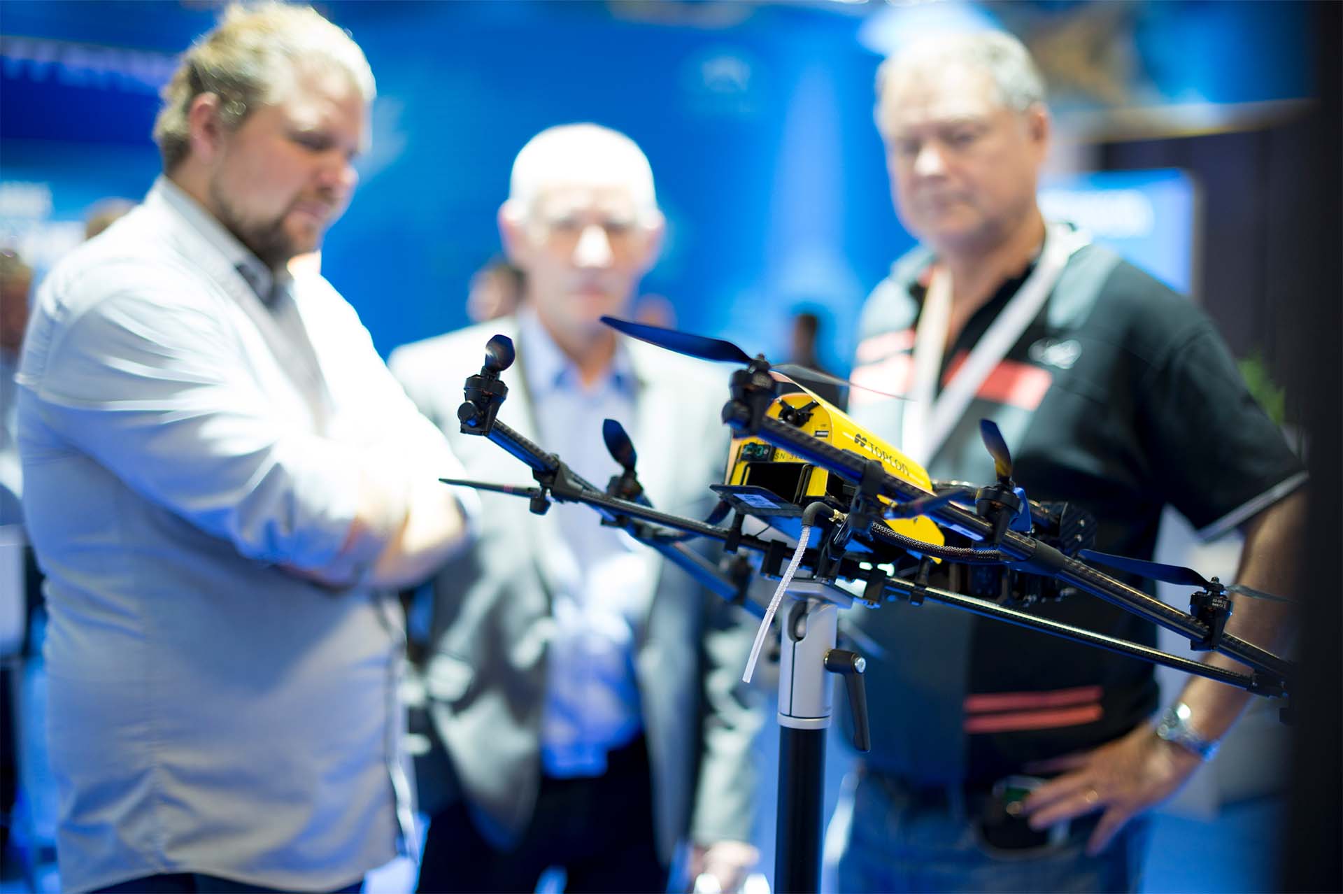
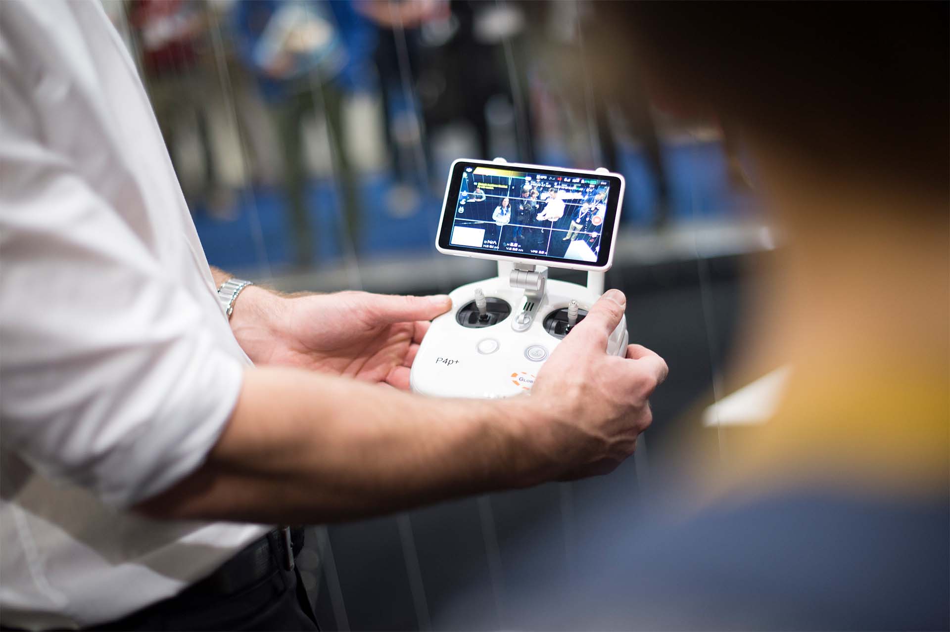
This year, INTERGEO will once again present the “Unmanned Systems” section. The area will deal with the latest developments and applications of unmanned systems in the air, water and ground sectors.
The area will include a dedicated exhibition area with corresponding offers, a conference area with presentations on workflows, areas of application and added value of the applications, as well as a practical presentation of the applications and possibilities.
The market for unmanned systems has grown considerably in recent years and offers great potential for new applications. Unmanned systems can be used in many different areas, such as agriculture, construction, infrastructure, logistics, civil protection and security.

FORMATS
Stage
Lecture area with
Focus on UAS topics.
Application via CALL FOR IDEAS.
Free access for all visitors.
EXPO
Exhibition space for companies and organizations with a focus on UAS/UAV topics.
Conference
The conference offers exciting insights and opportunities for exchange.
IASImpressioNS


Applications and application industries
- drones in surveying
- inspection drones
- Drones in construction
- UAM & Transport Drones
- Drones in the public domain
- Focus in partnership with VDMA: INDUSTRIAL DRONES
- New focus: drones in the medical field
- Market development & legal framework